Maproom for 3dsMax helps you build great maps in a fraction of the time. Maproom downloads the data you need: satellite imagery, digital terrains, building models, building outlines and roads and combines it into a single map. No more messing around with screengrabbed satellite images and trying to match them up with other data. With Maproom making the map you need really is that easy in 3ds Max.
Download it and try it out for free for as long as you like. Want to buy it right away to get all PRO features? Go for it!
What kind of maps can I make?
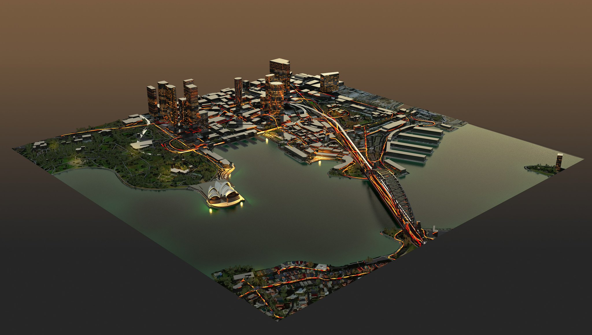
Street and city environments for architectural visualization.
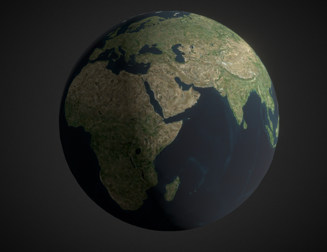
Continent or world maps for motion graphics.
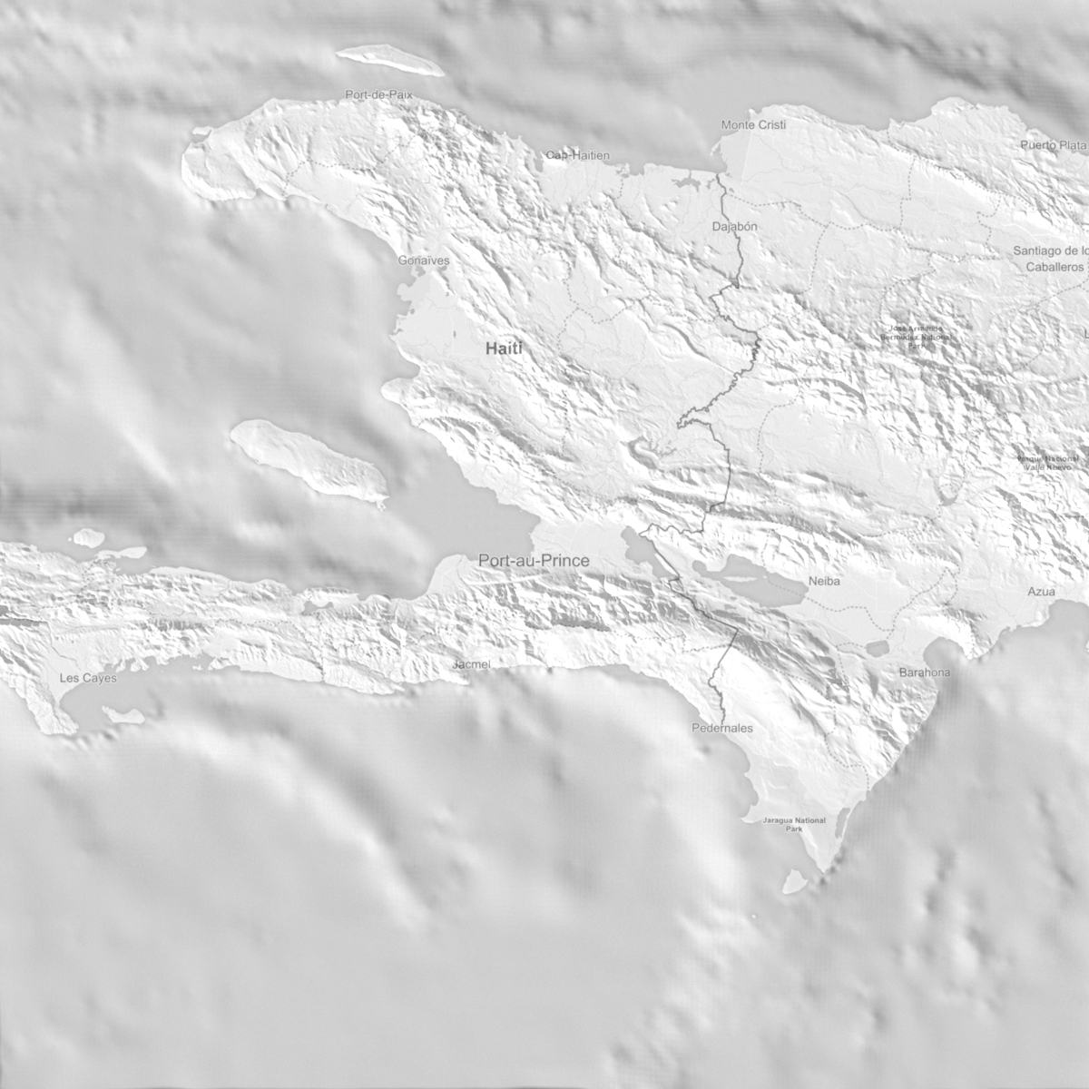
Accurate topography for simulations.
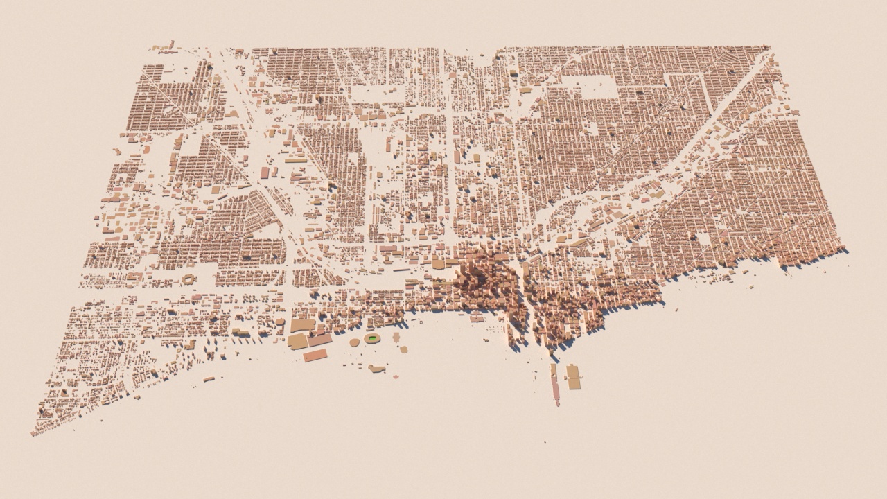
Virtual cities to render or blow up.
Features
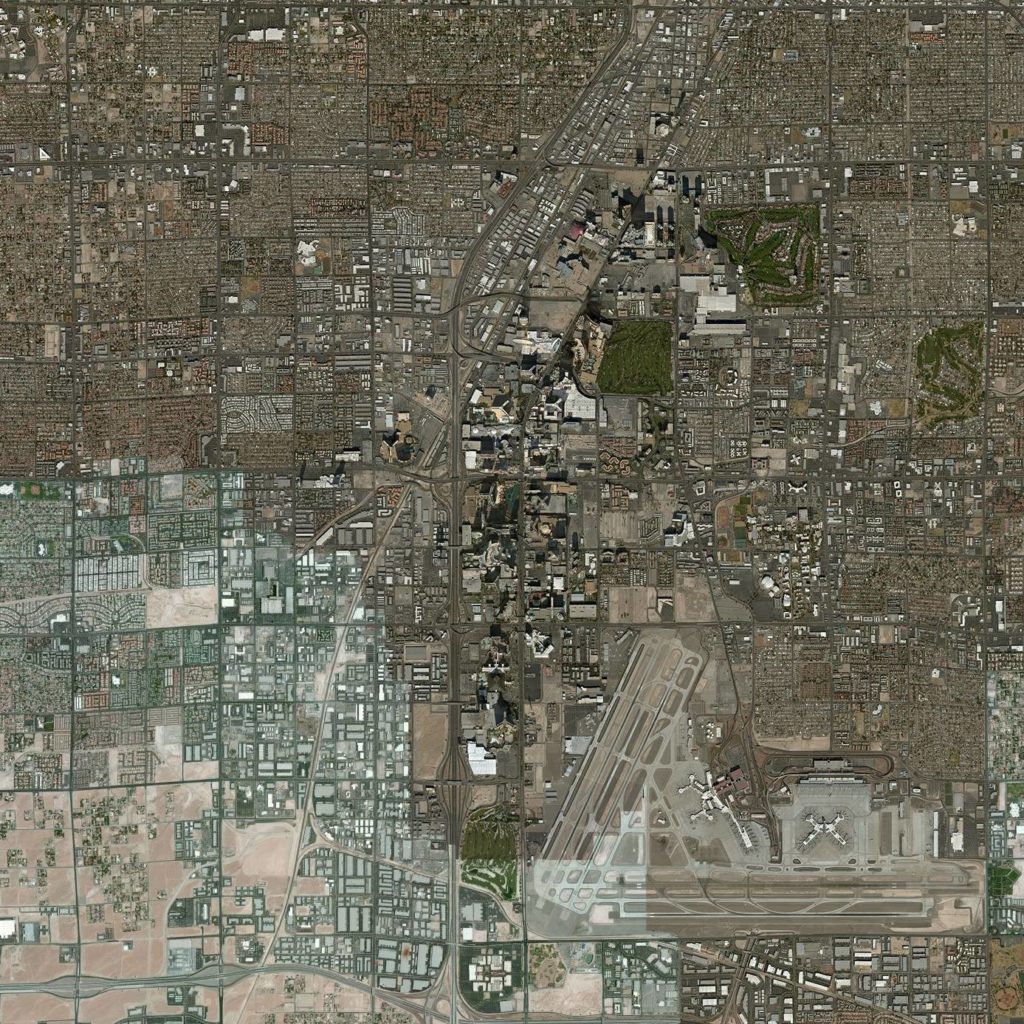
Use images from many sources such as Bing, Mapbox or Stamen.
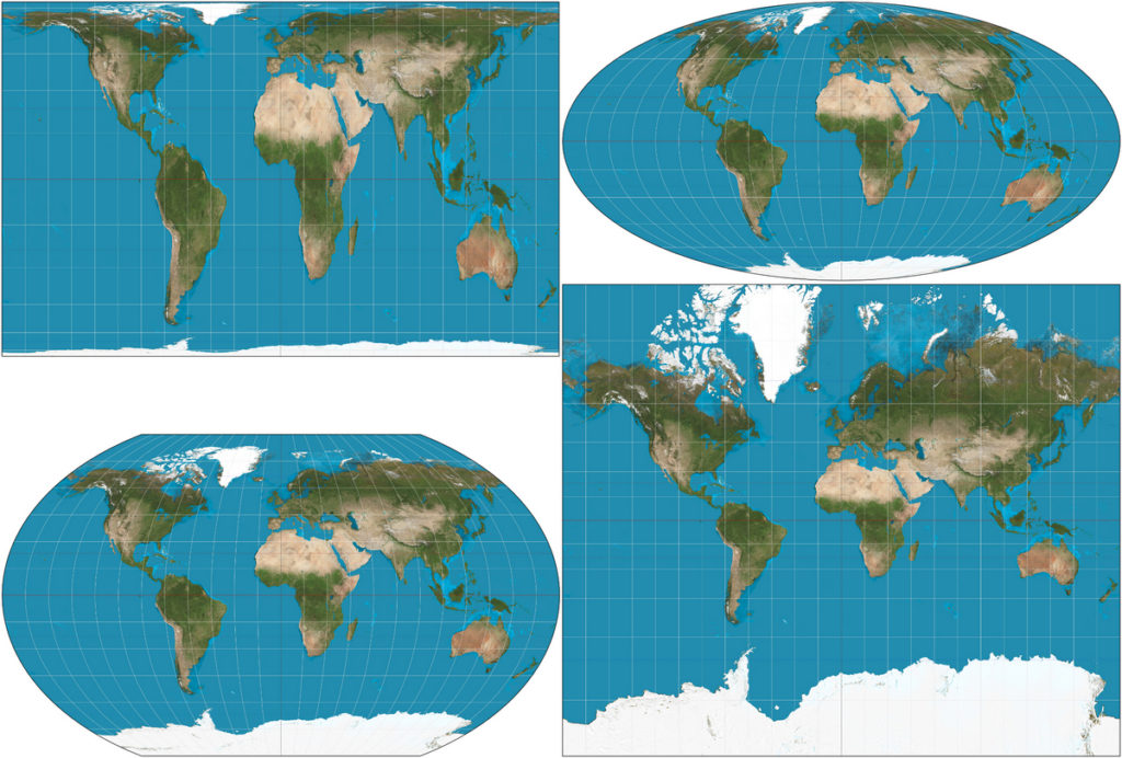
Don’t like Mercator? Use one of the many other map projections including UTM, Mollweide and equidistant cylindrical. Especially UTM is useful if you need to match the map with city plans or architectural drawings.
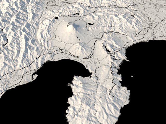
Create terrains with global datasets from city scale to world scale.
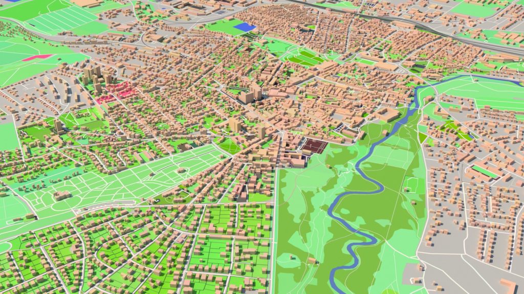
Add OSM vector data to your map. For instance buildings, roads, parks or rivers.
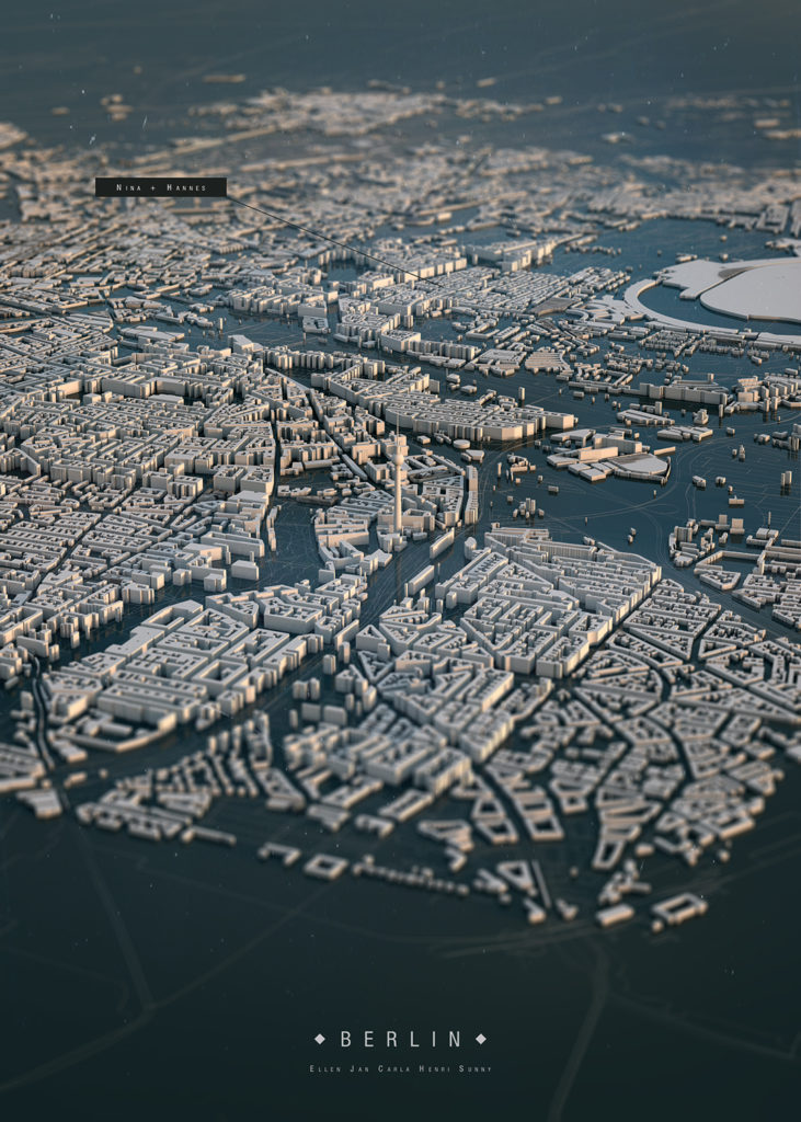
Convert OSM shapes to actual believable 3D models instantly with the built in stylesheets, or create your own stylesheets.
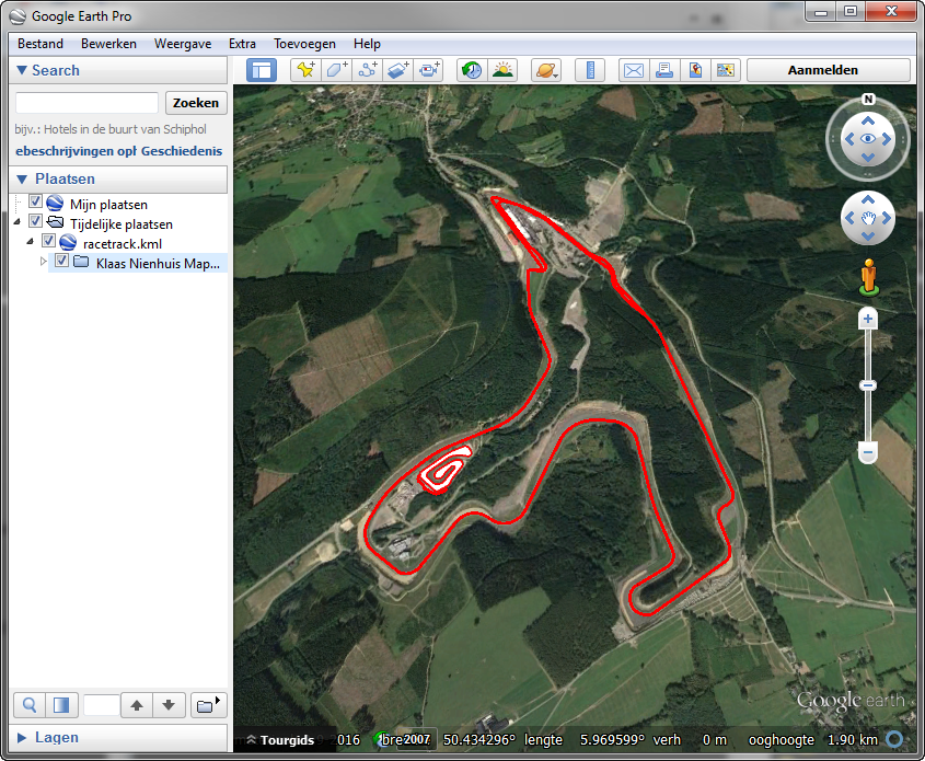
Exchange shapes with Google Earth
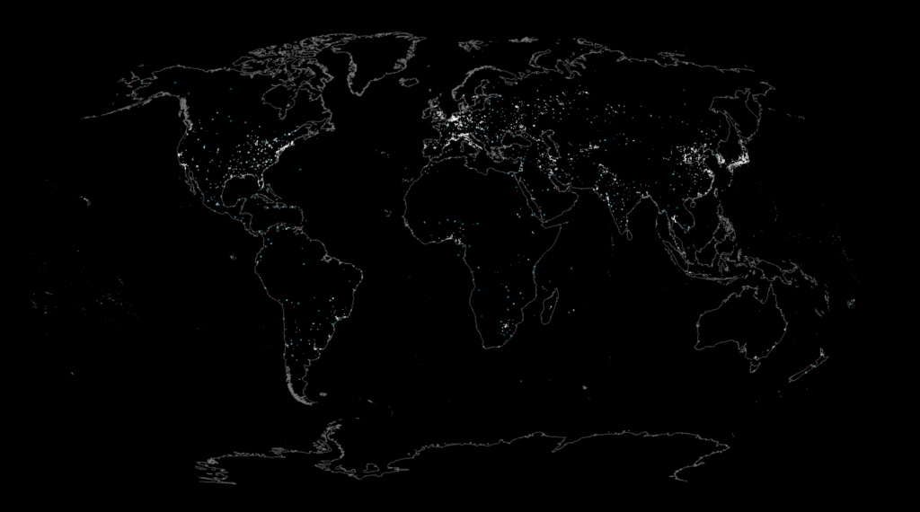
Import your own shapefiles or use the excellent shapefiles from Natural Earth to get global shapes such as country borders, largest cities in the world or all major airports.
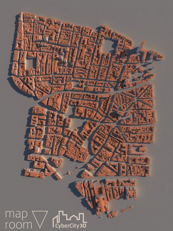
Add these buildings when you need more realism and detail in your 3D mapped cities.
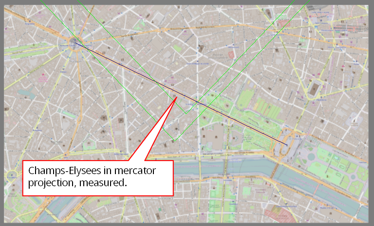
Reliably measure distances on a map.
Support
If you ever need help, we’ve got you covered with written documentation, ticket based helpdesk and video tutorials.
Download it and try it out for free for as long as you like. Want to buy it right away to get all PRO features? Go for it!


